 BGS Data Catalogue
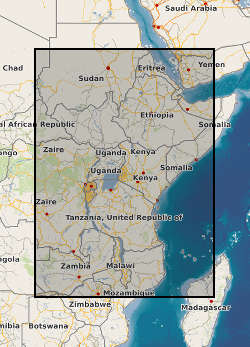
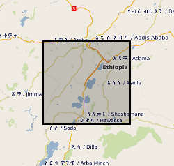
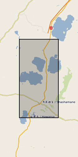
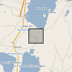
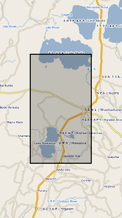
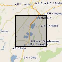
Rift zone
Type of resources
Topics
Keywords
Contact for the resource
Provided by
Years
Formats
Representation types
Update frequencies
-
A geographic information system (GIS) heat flow and temperature model of East Africa created by extracting data from open sources into a series of shapefiles and rasters containing information on geothermal sites, hot spring locations, digital elevation model, surface temperature, geothermal gradients, thermal conductivities and heat flow data, major faults, surface geology, crustal basement, electrification grid system and population density across East Africa. This data is stored in the World Geodetic System (WGS) 1984 Geographic Projection System.
-
Glass major element geochemical data on Late Quaternary tephra deposits from the Main Ethiopian Rift volcanoes. These data were acquired using Electron Microprobe Analysis, and secondary standard data (MPI-DING glasses) are also included. All samples were given a unique name related to the outcrop from which they were obtained. Outcrops are named "MER" followed by a 3-digit number (e.g. MER153). Samples from a given outcrops are given the same name, followed by a letter (e.g. MER153A). Outcrop localities, with GPS coordinates (Lat Long WGS84) and brief description of the geology are also included. These data are published as Supplementary Files to a paper published in Journal of Volcanology and Geothermal Research: Fontijn et al (2018), https://doi.org/10.1016/j.jvolgeores.2018.02.001.
-
This data set contains daily position solutions for GPS stations deployed on Corbetti and Aluto volcano, Ethiopia. The results for Aluto were originally published in "Seasonal patterns of seismicity and deformation at the Alutu geothermal reservoir, Ethiopia, induced by hydrological loading", Birhanu et. al. (2018). Corbetti results were partially published in "Sustained Uplift at a Continental Rift Caldera", Lloyd et al. (2018).
-

Geochemical analysis of pyroclasts from Aluto, Ethiopia. Data are referenced in Clarke et al., 2019: Fluidal pyroclasts reveal the intensity of peralkaline rhyolite pumice cone eruptions; https://doi.org/10.1038/s41467-019-09947-8.
-
Ar/Ar dating of samples from Aluto and Corbetti volcanoes, Ethiopia. Data are referenced in Hutchison et al., 2016b: A pulse of mid-Pleistocene rift volcanism in Ethiopia at the dawn of modern humans; https://doi.org/10.1038/ncomms13192
-

Tephra layer summary for Lake Abijata and Lake Langano cores, Ethiopia. Data are referenced in McNamara et al., 2018: Using Lake Sediment Cores to Improve Records of Volcanism at Aluto Volcano in the Main Ethiopian Rift; https://doi.org/10.1029/2018GC007686
-
This dataset contains the locations and other pertinent information for 122 well-constrained seismic events that occurred on or near Corbetti between February 2016 and September 2017. These locations were derived from data collected on 37 broadband seismometers deployed as part of the RiftVolc project. The data were originally published in Lavayssière, A., et al. "Local seismicity near the actively deforming Corbetti volcano in the Main Ethiopian Rift." Journal of Volcanology and Geothermal Research (2019). https://doi.org/10.1016/j.jvolgeores.2019.06.008
-
This dataset contains 204 ascending and 300 descending Sentinel-1 geocoded unwrapped interferograms and coherence, and 70 ascending and 102 descending Re-sampled Single Look Complex (RSLC) images for each acquisition date. This data set also includes the original size Digital Elevation Model (DEM) used during InSAR processing. Data used by: Moore et al, 2019, “The 2017 Eruption of Erta 'Ale Volcano, Ethiopia: Insights into the Shallow Axial Plumbing System of an Incipient Mid-Ocean Ridge”.
-
Electronic Supplementary Material: "Event trees and epistemic uncertainty in long-term volcanic hazard assessment of rift volcanoes: the example of Aluto (Central Ethiopia)", by Tierz, P., Clarke, B., Calder, E. S., Dessalegn, F., Lewi, E., Yirgu, G., Fontijn, K., Crummy, J. M., and Loughlin, S. C., submitted to Geochemistry, Geophysics, Geosystems. The datasets contain volcanological data on analogue (i.e. similar) volcanoes of Aluto volcano (Ethiopia), including conditional probabilities of eruption size, number of eruptions with specific volcanic phenomena reported and values of volcano analogy calculated using the VOLCano ANalogues Search tool (VOLCANS, Tierz et al., 2019, https://doi.org/10.1007/s00445-019-1336-3). These type of data can be used to parameterise event tree models (e.g. Newhall and Hoblitt, 2002, https://doi.org/10.1007/s004450100173; Marzocchi et al., 2010, https://doi.org/10.1007/s00445-010-0357-8) and, thus, quantify volcanic hazard at a particular volcano of interest, including the relevant sources of uncertainty. The production of the datasets was supported by the UK Natural Environment Research Council project: Rift Volcanism: Past, Present and Future (RiftVolc). Grant NE/L013460/1.
-
This data set includes the original time series collected with broadband and long-period MT instruments during two field seasons in 2016 and 2017 by a team of researchers from the University of Edinburgh, UK and the Institute for Geophysics, Space Science and Astronomy at Addis Ababa university, Ethiopia. For the magnetotelluric stations, processed transfer functions are included in the edi file format. The time series data is provided both in the original raw data format and an ascii version. We provide information on the locations and the processing and include the necessary instrument response functions and metadata to reproduce our results from the raw data. For the TEM recordings, site coordinates and raw data are included in the original format.